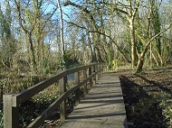
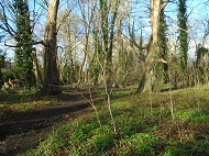
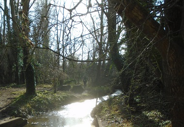
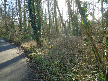
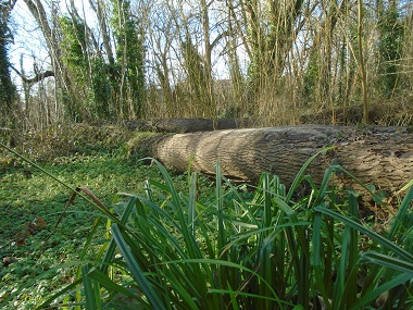
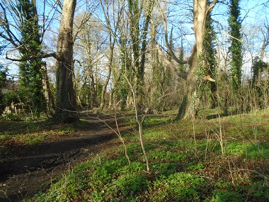
The attractionIt is a magical area as the following pictures will show. You will find yourself in a wild area even though there are housing estates near by which you will get the odd glimpse of through the trees. There is also a lovely smell of wild foliage. The River Stert is usually a gentle stream but can flood during periods of heavy rain. South of this area, the stream goes underground and runs underneath the pavement in Stert Street in the centre of the town. Once, the shops and houses on the east side of Stert Street were accessed by little bridges. Some fallen and felled trees are left lying there to create habitat for wild life. Children will have great fun exploring the the unpaved paths.
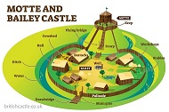
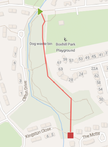
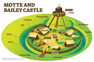
Historical featureAfter the Norman conquest of 1066 the Normans built Motte and Bailey castles around the country to mark their presence. One such was built in this wooded area although all that now remains is the earth mound which is very overgrown and difficult to find. It is best approached from Clifton Drive. There is a plaque at the side of the road indicating the general location of the mound but you still have to explore the area to find the mound. It is surrounded on three sides by water from the Stert but, presumable it was initially surrounded completely by a moat. The nearby road called the Motte is named after the castle.
|